
Loudoun County Neighbors by Parcel
For Loudoun County neighbors, begin with the land around the subject address. WebLogis shows parcel boundaries, address points, roads, ZIP context, subdivisions, and district layers. Its adjoiner tools identify parcels, then the Real Property Search can provide the assessed owner, legal description, sales information, and parcel data for each PIN. The map’s core address, road, and parcel layers update daily from the prior business day, while other layers have their own schedules.
| Source | What it shows about a block | Access |
|---|---|---|
| WebLogis adjoiners | Parcel shapes and IDs, adjoiner results, roads, ZIP, subdivision, and map context | Public map tools |
| Commissioner property search | Assessed owner, legal, situs, and mailing address, values, sales, and parcel facts | Public search, one parcel at a time |
| Clerk deeds and plats | Shared grantors, lots, easements, legal neighbor references, and ownership history | Free index; kiosk, paid image, or copy for documents |
| Virginia voter status | An individual’s permitted status lookup and district information | Citizen Portal; full-list use is restricted |
| County community resources | Community name, selected association link, and private-street or common-area context | Public county pages; selected lists are noncomprehensive |
| Thomas Balch collections | Historical neighbors, families, local events, cemetery, newspaper, and house-file context | Catalog, onsite, or reference service |
An assessed owner is not automatically an occupant. A tax mailing address may be a P.O. box or another place. The parcel’s situs is where the land is, while its legal description and PIN identify what the deed conveys. Each nearby result should be read as land-record evidence, not a household list.
Map a Loudoun County Block
WebLogis has a specific adjacent-parcel process. Search the subject address, choose the autocomplete result, and locate it on the map. A PIN or map tile can also begin the search. Select “Show Parcel and Adjoiners,” or choose “Find Adjoining Parcels” under the Select search type and click the parcel. WebLogis highlights the adjoining parcels and opens a Results tab. The tool maps legal parcels, not people who may be visiting or living at an address.
- Record the subject parcel’s PIN, situs address, and legal description before moving outward. Those identifiers remain useful when a road name changes.
- Open the adjoiner result and record the neighboring PINs. For a rural tract, use “Find Parcels within a Distance” only when a radius is more useful than strict legal adjacency.
- Run a property search for each adjacent PIN. Compare the assessment date, sales information, mailing address, and legal description without assuming the mailing address identifies a resident.
- When a boundary or shared driveway matters, consult the deed and plat trail for easements, lot lines, and referenced prior instruments. A radius result is not a legal-adjacency conclusion.
For a full named-street chain rather than the immediate block, use the Loudoun County by-street directory. It follows an address through parcel, deed, and historical address sources in more depth.
Note: Select the autocomplete address before using Locate on Map, because pressing Enter instead can produce an error in WebLogis.
Loudoun County Neighbor Property Cards
Each adjoining PIN can lead to a property card, but read the fields carefully. Loudoun’s property site includes ownership and deed information, legal description, sales information, assessment values, and house characteristics. A result can link to GIS overlays for boundaries, environmental information, topography, soils, floodplain, and major roads. The common search form accepts parcel ID, land-use code, street number, street, ZIP Code, and other exposed filters. It does not show an owner-name field on that common page.
A parcel may have separate components. Condominium garage units or assigned parking spaces can carry separate parcel IDs and assessments. An owner’s mailing address can be strong evidence of where tax correspondence goes, but it is not proof of residence at the situs. If a deed must be compared, preserve the PIN, legal description, instrument or book/page reference, grantor, grantee, and recording date. Those facts make a later correction or comparison possible.
The County’s 2022-2024 road-renaming work adds another reason to keep all three identifiers. Loudoun assigns street addresses from the driveway-road intersection under its Address Grid Map, while deeds generally rely on legal description, PIN or MCPI, and tax-map number. Old and new street names should be retained with the parcel record.
Voter Records for Loudoun County Neighbors
The Virginia Department of Elections Citizen Portal is an individual self-service route, not a block-wide neighbor list. Its documented lookup asks for first name, last name, date of birth, and ZIP Code. It can provide voter-facing registration, polling-place, district, absentee, and voting-history actions when a permitted match exists. Research did not capture a live result card, so no unverified output fields should be presumed.
Virginia public registrar lists have defined fields and defined restrictions. Va. Code § 24.2-444 identifies name, residence address, year of birth, gender, and applicable election districts as public-list fields. Day and month of birth, Social Security information, registration-agency identity, and protected addresses are withheld. A protected voter can use a P.O. box, and an active or inactive result is only one corroborating record. Virginia law does not allow an ordinary public website to publish a searchable Loudoun voter-file database.
Loudoun Community Association Access
Community information is a different layer from parcel research. Loudoun maintains a towns, communities, and homeowners association hub with a selected community list, external links, and a request to send updates. The county says the list is not comprehensive. It does not make a public member directory available. A community may have a directory behind member access, but the research did not verify any named association public roster, so membership must not be assumed from a county listing.
| County or official resource | Practical use | Access limit |
|---|---|---|
| Loudoun communities and HOA hub | Find a community name, selected association link, and county context | Selected list only; not a membership directory |
| County residential-community map resources | View community geography alongside other public map layers | Map context does not establish household membership |
| Clerk land records | Check whether a covenant or restriction was recorded | Unrecorded covenants cannot be enforced, according to county guidance |
| DPOR common-interest-community route | Find the state education and dispute channel | Not a public resident roster |
The Loudoun County towns, communities, and HOAs hub brings those public community routes together.
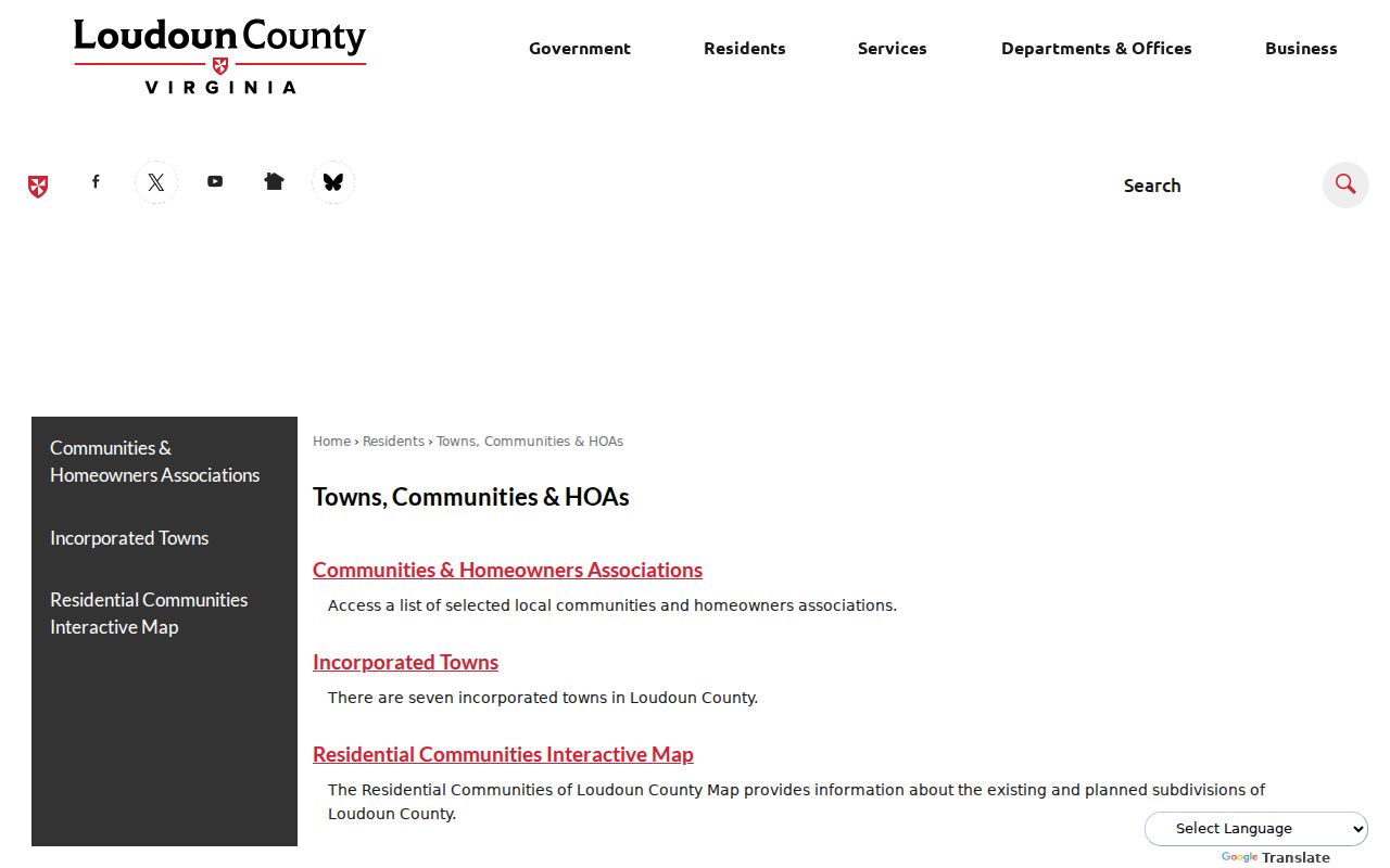
The hub helps identify the proper local or community starting point, while its selected links do not establish a public roster for any neighborhood.
The Loudoun County HOA directory page provides a selected-community starting point.
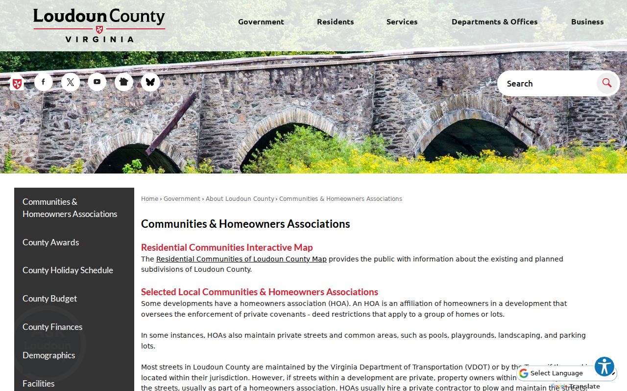
Use this county resource to identify the relevant community channel, then follow its stated access terms rather than seeking private member information.
For visual community context, Loudoun’s ArcGIS Online entry point leads to the county’s mapped resources.
Map layers can clarify a neighborhood’s geography, but they do not replace association records or identify everyone on a block.
Loudoun County Neighbor Tools Compared
Official records and commercial neighbor tools operate very differently. Official sources identify the record custodian, scope, date, and access route. Commercial tools are an unnamed category that may combine address, marketing, property, and public-record data. Their reports can be stale or merge people with the same name. Neither category reveals protected household, utility, delivery, or confidential voter data.
| Official Loudoun records | Commercial neighbor tools |
|---|---|
| Show a defined parcel, assessment, deed, map, or regulated individual record with its custodian | May combine data from many dates and sources into a single profile |
| Offer a kiosk, copy request, map tool, or state portal when documented | May charge for reports and offer opt-out processes |
| Require the reader to compare dates and record purpose | Can contain stale, incomplete, or same-name matches |
The dependable baseline is a named county, state, library, or archive source. For corrections, contact the custodian that created the official record. A private compilation does not control a deed, court index, or voter record.
Historic Context for Loudoun Neighbors
When the question is historical rather than current, Thomas Balch Library adds records that parcel tools do not. Its holdings include cemetery research, newspaper microfilm and archive boxes, family files, historic house files, maps, club and organizational records, and visual collections. Search the Centennial Catalog, note the collection code or box number, and use the Collection Request or reference route. A person named in an archival source is evidence of a dated activity or relationship, not proof of a present address.
Loudoun’s 1854 Yardley Taylor map, with landowners and insets of Leesburg, Middleburg, and Waterford, can be paired with tax rolls and deeds for rural neighborhood history. The 1886 Leesburg Sanborn map adds building and fire-insurance geography. For community research, the library also holds church and cemetery material, oral histories, minutes, correspondence, and vertical files. Access terms and collection guides matter because private rosters should not be presumed public.
Privacy Limits for Loudoun Neighbors
Public parcel results do not disclose every person who lives nearby. Renters, household members, guests, utility customers, delivery information, DMV addresses, and private community directories are not ordinary public neighbor sources. Protected voters and Address Confidentiality Program participants may have a substitute address or no visible home street address. Sealed court material and restricted vital records also remain outside a block search.
Lawful use. Use Loudoun County neighbor records for personal, lawful research, block awareness, and local history. Virginia law does not permit using public information to watch, harass, threaten, or intimidate another person.
Virginia’s stalking law, Va. Code § 18.2-60.3, covers repeated conduct that creates the defined fear of harm. Voter-list recipients have separate restrictions, and a protected address should never be republished or circumvented. If a property, court, license, or voter result appears wrong, record the source and date, then ask the actual custodian about correction, sealing, or redaction.
Note: Ask for the least identifying record that answers a defined question and avoid retaining personal details that are not needed.