
Tracing a Loudoun County Street
The practical Loudoun County street directory workflow is address first. WebLogis verifies the address point and maps its parcel. The Commissioner property card adds the assessed owner, mailing and situs facts, sales, and tax-map detail. The Clerk index then moves from the current owner or legal description to recorded deeds and plats. Each stage narrows a property record, not a household roster.
- Type the street address in WebLogis and choose the autocomplete suggestion before locating it.
- Turn on Parcel Boundaries and Address Points, then record the PIN and tax-map information.
- Open the underlined PIN link to the Commissioner assessment record.
- Use the owner, sale date, and legal description to search the Clerk land-record index.
- Check the deed's grantor, grantee, prior reference, and plat link before moving backward.
- For a past address period, ask Thomas Balch for a defined catalog or directory inquiry.
Note: A PIN and legal description survive a road-name change better than an address string alone, so save them before opening a deed index.
Loudoun County Street Search Fields
The Real Property Search has no owner-name field on its captured common screen. Its useful street-directory fields are Parcel ID, street number, street, and ZIP Code. County help says one or more fields may be used, an asterisk is a wildcard, and street searches work best without a suffix. Advanced Search is the route for ranges such as year built, number of stories, and tax-map number.
| Field | Street-search use |
|---|---|
| Parcel ID | Optional 12-character identifier; wildcard allowed. |
| Street # and Street | Optional address fields; omit street suffix for the documented approach. |
| ZIP Code | Optional narrowing field for a broad street name. |
| Land Use Code | Exposed optional field; full values were not shown in the capture. |
| Deactivated Accounts | Available filter control with no expanded meaning on the captured form. |
Loudoun's Real Property Search provides the address-oriented starting fields. Record the parcel ID and tax-map details at this stage, because the common form returns ownership information but does not begin with an owner-name box.
The property card can support a street-by-street review, but the county cautions against treating its ownership information as a live occupant list.
WebLogis Along Loudoun County Streets
WebLogis is the street directory's map layer. Its address points, road centerlines, and parcel boundaries are refreshed daily from the previous business day. Select an address from autocomplete, then use Identify, LandRecords, and Parcel to select a parcel. The resulting PIN opens the Commissioner record in a new tab. Allow popups if that link does not open.
Loudoun County WebLogis shows the parcel and street tools used to move along a road.
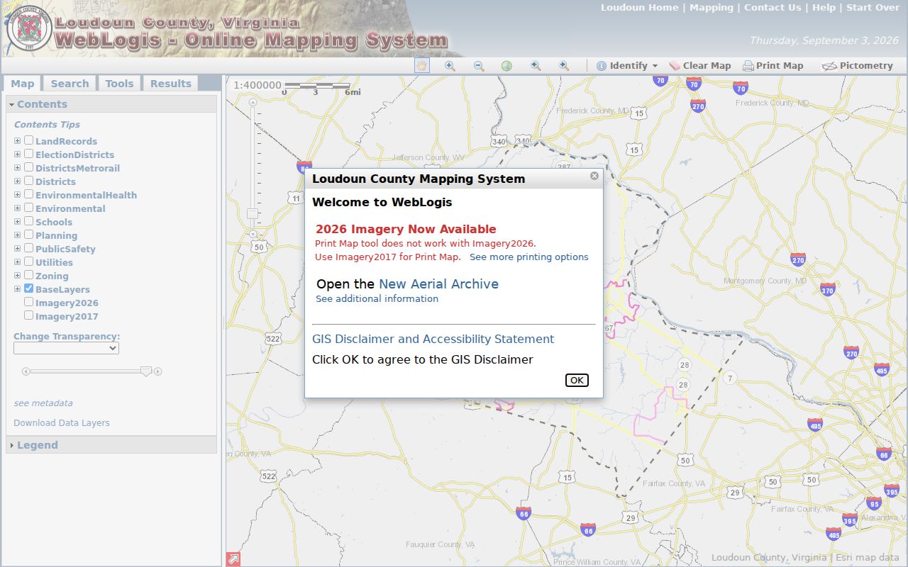
For a full segment, zoom along the road with parcel boundaries and address points visible, then inspect each parcel. The distance and adjoining-parcel buttons are useful for rural roads where lots are large.
Loudoun County Street Records
Address-keyed records answer different questions. A parcel card is the strongest source for assessed ownership and parcel facts. GIS provides the geographic context. A deed and plat trace legal conveyance. Permits can document a project trail, while RME well and septic files can assist with a rural address or PIN. Voter records remain tightly controlled and do not create a public street-wide list.
| Address record | What it can show | Loudoun access |
|---|---|---|
| Assessment/property card | Owner, situs and mailing address, PIN, values, sales, characteristics | Commissioner public search, weekly update |
| WebLogis parcel map | Boundary, address point, road, ZIP, subdivision and layers | Public mapping system |
| Deed and plat index | Grantor, grantee, legal description, recording and references | Free index account or kiosk; image and copy routes |
| LandMARC or eTRAKiT | Permit, plan, inspection, application or project status | County or town public-record route |
| RME well/septic records | Address or PIN-linked environmental file references | Online RME, then Health Department fallback |
Street-by-street results become more dependable when the same PIN, lot, block, subdivision, or legal description appears across two record families.
Loudoun County Deeds by Address
Deeds are generally not keyed to the modern address. Begin with the current PIN and legal description, then search the current owner as a grantee around the last sale. Record the grantor, grantee, recording date, instrument or book-page reference, subdivision or plat reference, and prior-deed citation. The next search treats the prior grantor as a possible earlier grantee and checks that the legal description still matches.
The Clerk's remote occasional-user service provides free index searching after account creation, but document images are purchased separately. The public kiosks remain a free way to view land records. Older deeds appear in historic index PDFs covering 1757 through 1903, and the plat-reference index reaches most deed-book plats through the middle of 1945.
The County historic deed-index page shows the dated blocks and plat reference route.
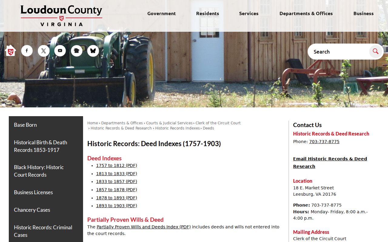
The six historic blocks help find an early legal trail, but neither a street form nor a parcel number should be projected backward without checking the document.
Loudoun County TrakRecord Access
The Clerk's occasional-user remote land-record service is useful once a street search has produced an owner name, instrument reference, or legal description. An account is required, but index searches are free. The county says an occasional user can search by name, document type, date range, and other available criteria, then decide whether to buy a particular image. The index is a finding tool, not a legal conclusion. Search spelling variants, and preserve the instrument number and page count before selecting a paid image or asking for a copy.
Loudoun Clerk TrakRecord occasional-user access shows the official public-access terms and index entry route.
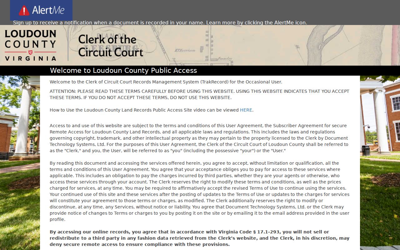
The occasional-user route separates free index research from selected-image access. It is especially helpful when a parcel card provides a sale date and likely grantee, but the deed still needs to be checked against the same legal description or plat reference.
There are other access channels. The Clerk's annual subscriber account costs $262 and includes unlimited index and image access, subject to application and approval. Free public kiosks are available Monday through Friday from 8 a.m. to 4 p.m. Historic copies by mail or pickup require an instrument or reference number, page count, requested size or certification, payment, and a self-addressed stamped envelope. Letter and legal copies cost $0.50 per page, 11-by-17 copies cost $1 per page, and certification adds $2.
For a record that is not fully searchable online, Clerk Historic Records staff can supply instrument numbers, reference numbers, and page counts, but they do not conduct legal research or interpret documents. Bring a specific reference to the counter. That narrow request is more likely to connect a street address, parcel, and older deed than an open-ended name search.
The public kiosk, a paid remote image, and a written copy request are not interchangeable. The kiosk is the free review route, while the remote service offers a selected image after the index has identified it. A written request needs enough detail for staff to locate an existing record and does not require the Clerk to assemble a street-wide history. If an early deed is found only as a book and page reference, use the historic deed index or kiosk to bridge that reference to the underlying record.
Terms in a Loudoun County Street Directory
Address records use terms that look similar but answer different questions. Learning the distinctions keeps an ownership search from being mistaken for a residence search.
- Parcel
- A mapped land unit, usually linked to a PIN and tax-map identifier.
- Situs address
- The physical parcel location, which can differ from an owner's mailing address.
- Plat
- A recorded map or survey that can link a lot, road, easement, or subdivision to deed records.
- Criss-cross directory
- An address-based directory tool, if a local volume is located, that may pair an address with a past listing.
The Loudoun plat reference index may include "From," "To," division, survey, dower, estate, utility, or railroad references. It is an address-history bridge, not a resident roll.
Loudoun County Street Name Changes
Street spelling and names can block an otherwise solid street-directory search. Loudoun assigns addresses outside incorporated towns under its address-grid rules, with the number tied to the driveway's road intersection. The county completed several road renamings from 2022 through 2024. Examples include Leesburg Court to Compass Rose Court, Little River Lane to Vilgrain Farm Lane, and Round Hill-area changes such as Early Avenue to Earlybird Avenue.
Route 7 became Leesburg Pike and Route 50 became Little River Turnpike in the county effort. A deed usually relies on the legal description, PIN, or tax map, so it does not need to be re-recorded after a renamed street. Keep the old and current name as a small alias list when searching permits, maps, newspapers, or historic deeds.
Loudoun County Permit Address Trail
County Building and Development uses LandMARC for current permit and plan records. Its inquiry form asks for a single property address and permit number, and county material says the public can search records without an account. Inside Town of Leesburg, eTRAKiT is the municipal zoning and land-development route, while county trade permits can remain separate. A town address can therefore require both systems.
For rural property, Online RME accepts an address or PIN for well and septic files. The documented fallback is the Health Department when no record appears. A permit applicant, contractor, or project name is not automatically the resident or owner, so compare it with the assessment and deed records.
Historic Loudoun County Street Evidence
For a former street household, the county's intact court-record history is a major advantage. The Clerk says its records run from 1757 and have not been destroyed by a courthouse fire, war, or environmental event. Thomas Balch Library adds tax-roll microfilm, federal census microfilm, historic house files, newspapers, maps, and family files. Exact local reverse-directory year runs were not located in the official catalog material, so the careful request is for a specific year, address, surname, or catalog term.
A current parcel trail can also be paired with the 1854 Yardley Taylor landowner map or the two-sheet 1886 Leesburg Sanborn map. Those sources provide historical land or building context, not a full list of everyone in a household. The Loudoun County city directories collection route keeps the library and historic-directory work separate from current address searching.
Loudoun County Street Directory Limits
A public address record does not reveal every person along a street. Property data identifies an assessed owner, not each occupant. The Citizen Portal is an individual lookup rather than a street-wide voter file. Protected voter addresses may use a P.O. box, and the Virginia Address Confidentiality Program can protect eligible participants. DMV data, utility customer lists, and private community rosters are not ordinary street-directory sources.
Lawful use. Use Loudoun County street and parcel records only for a personal, lawful purpose. Do not use a street search to stalk, harass, intimidate, or harm another person.
Commercial people-finder tools compile data that can be stale, incomplete, or merged across same-name people. An official parcel, deed, or custodian record is the better source for a fact that needs checking.